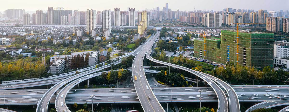
Making city planning smarter with mobility data analytics

Improvements to the urban transportation ecosystem are critical for sustainable development. But understanding how people move in densely populated areas is much easier said than done, especially when it involves outdated data collection methods.
The good news? Mobility data analytics can reveal traffic patterns and aid city planning by informing road safety and public transport decisions.
The challenges of city planning without sufficient data
Urban planners understand the changing behaviors of their city’s population. But without an accurate view into how people travel within the city, planners risk the misallocation of resources and the misalignment of transportation infrastructure. That’s why data plays a critical role in the evolution of a city’s technology. However, not all data collection methods provide good value or insight.
For example, cities typically collect traffic data through roadside devices. But unlike mobility data, these devices don’t take into account all commuters or modes of transportation. Mobility data, on the other hand, tracks people’s movement, whether they’re driving a car, using public transit, riding a scooter or bike, or even walking. This gives urban planners a more complete picture when making important decisions.
How city planners can keep roads safer with mobility data
Mobility data surfaces important information about driving risks like hard braking, hard acceleration, extreme speeding, and crashes. By better understanding areas of risk, corporations and governments can identify ways to make roads safer through improved technology and infrastructure. This could include addressing:
- Signage locations: If a tree blocking a speed limit sign causes extreme speeding events, a city may move the sign to a more visible location.
- Road hazards: If there is an area where hard braking frequently occurs, it can alert city officials of potential hazards or road defects.
- Pedestrian safety: If certain stretches of road are more prone to collisions, cities can add traffic-slowing measures to protect bicyclists, pedestrians, and drivers themselves.
By better understanding areas of risk, corporations and governments can identify ways to make roads safer through improved technology and infrastructure.
Informed public transportation and ridesharing
Mobility intelligence helps cities better understand how people move, providing the insight necessary for public transportation innovation. This data can support public transit initiatives for more cost-efficient and convenient transportation services. And by aligning transportation services with commuter habits and needs, cities can reduce wasted tax dollars while lowering transportation costs.
Mobility data can also support private transit. Ridesharing services can use mobility intelligence to acquire and retain safe drivers while operating efficiently and reducing liabilities. By leveraging this data, companies like Uber and Lyft can mitigate high insurance costs and make more profitable decisions.
The power of our mobility insights
Arity’s unique insights into how, when, and why people move helps traffic safety professionals and businesses discover and better prioritize opportunities for innovation. Mobility data is an efficient and cost-effective way to gain a complete picture of what’s going on on the ground, making high-level city planning more informed and effective.
Contact us to learn more about our offerings.