July 4th traffic patterns: What mobility data suggests for 2026 travel Read article

Motor vehicle crashes are the second leading cause of accidental death in the U.S., taking 42,915 lives in 2021 – the highest level of traffic fatalities we’ve seen in 16 years. With risky driving behaviors on the rise, city officials and transportation planners are tasked with helping their commuters stay safe on the roads and driving data can be a key player to reach Vision Zero (i.e., eliminating ALL traffic fatalities and severe injuries).
Here are three ways cities can leverage driving data to make their roads smarter and safer:
Reported crashes only scratch the surface of road safety insights. Near misses and unreported collisions (which account for 56% of Arity’s detected crashes) are overlooked when it comes to determining a road’s risk level, even though that data can reveal a lot of valuable insights.
Arity Driving Events captures data on key driving behaviors, and crashes are just one piece of the puzzle. We also monitor phone handling, hard braking, hard acceleration, and extreme speeding. That data is crucial to detecting areas of risk. For example, a pattern of hard braking in a particular area can indicate a lot of near misses, which could be caused by unclear traffic signs, low visibility, poor road design, etc.
In addition to revealing safety risks, driving data can also reveal infrastructure needs.
Sometimes, these needs arise from detecting a safety risk. Let’s say a series of hard braking incidents can be attributed to a large pothole in the road. A city may consider making the investment to fix it. Or if a series of extreme speeding events is caused by a tree blocking a speed limit sign, a city may decide to move it to a more visible location.
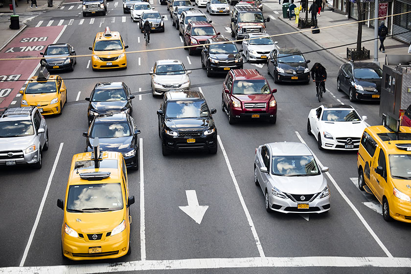
Other times, traffic data can be the source to reveal areas of improvement. Arity Real Time Traffic provides insight into the traffic density and flow of all vehicle traffic on the road. These insights can help cities prioritize infrastructure needs, like adding a new lane to alleviate congestion and reduce travel time in a particular area.
Apart from prioritizing needs, driving data can also be leveraged to garner support for construction projects. If a new lane is needed, residents may be more accepting of a three-year long construction project if they know the benefit and the stats behind it. For example, a city can say: With two lanes, commuters are spending an average of X hours in traffic. With three lanes, we predict an average of X hours spent in traffic.
Cities can also use driving data to increase public awareness and go the extra mile to help residents drive, bike, or walk smarter and safer. Traffic analytics can reveal the best times to commute to work, while driving event insights can pinpoint the riskiest (and safest) roads in the city.
Right now, cities typically collect traffic data through roadside devices (for example, traffic flow sensors) to facilitate decision-making. While valuable insights can be gleaned from these, they don’t reveal the full picture of mobility and the safety of ALL commuters, whether they’re driving a car, riding a scooter or bike, or walking. These devices are missing a key piece of the puzzle – driver behavior.
One forward-thinking alternative is leveraging connected car data to bring in some of those important driver behavior insights – things like hard braking and speeding. However, the major pitfall with this option is that it can introduce some unintended bias into decision-making.
Only newer cars are connected, which means the data collected from them only represents vehicles younger than four years old (and the small portion of the population that can afford those newer vehicles). Right now, the average age of passenger cars in operation is over 12 years, so a large percentage of the consumer population is left out when limited to this source of driving data.
A more comprehensive, and therefore equitable option is collecting driving data through mobile phone apps. Not only does it provide critical insights like distracted driving, but it also has the potential to connect to the 85% of the U.S. population with a smartphone.
With 30+ million current driver connections (and growing), Arity provides the best full picture of driver behavior, and we’re committed to using those insights to make transportation smarter, safer, and more useful for everyone.
Contact us to start a conversation on how to use driving data to make your city smarter and safer.